Within the framework of the DGE-ROLLOUT project financed by the ERDF and the Walloon Region, the Geological Survey of Belgium/ Service Géologique de Belgique is carrying out a geophysical prospection campaign named GEOCOND2022, in order to determine the presence of rocks favorable for the development of deep geothermal energy.
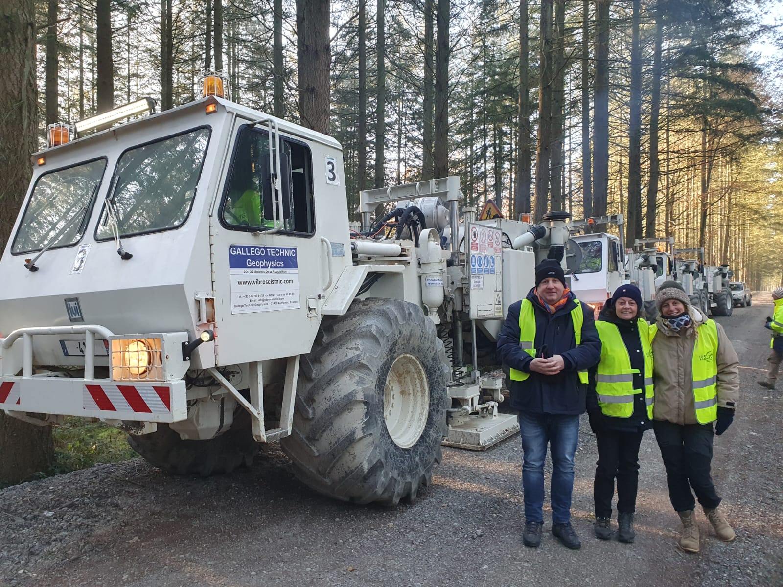
The campaign will take place in December 2022. Its realization is entrusted to the company Gallego Technic Geophysics (http://www.vibroseismic.com/ ).
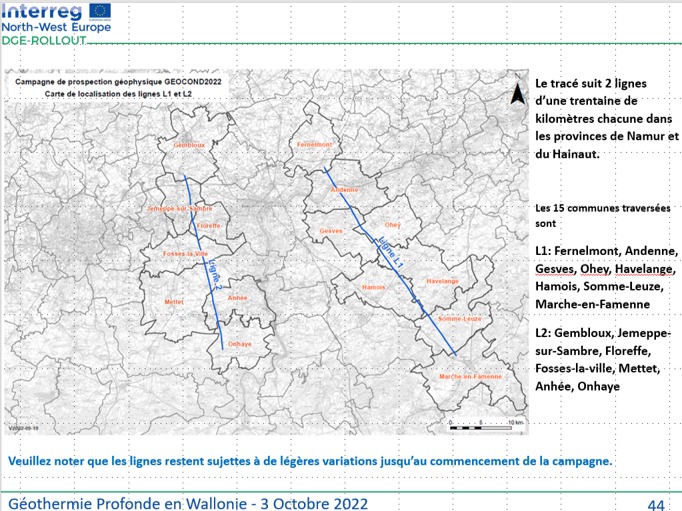
The objective is to identify deep geothermal reservoirs along two profiles of 30km each (see map below)
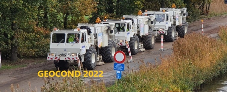
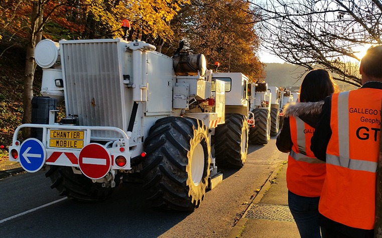
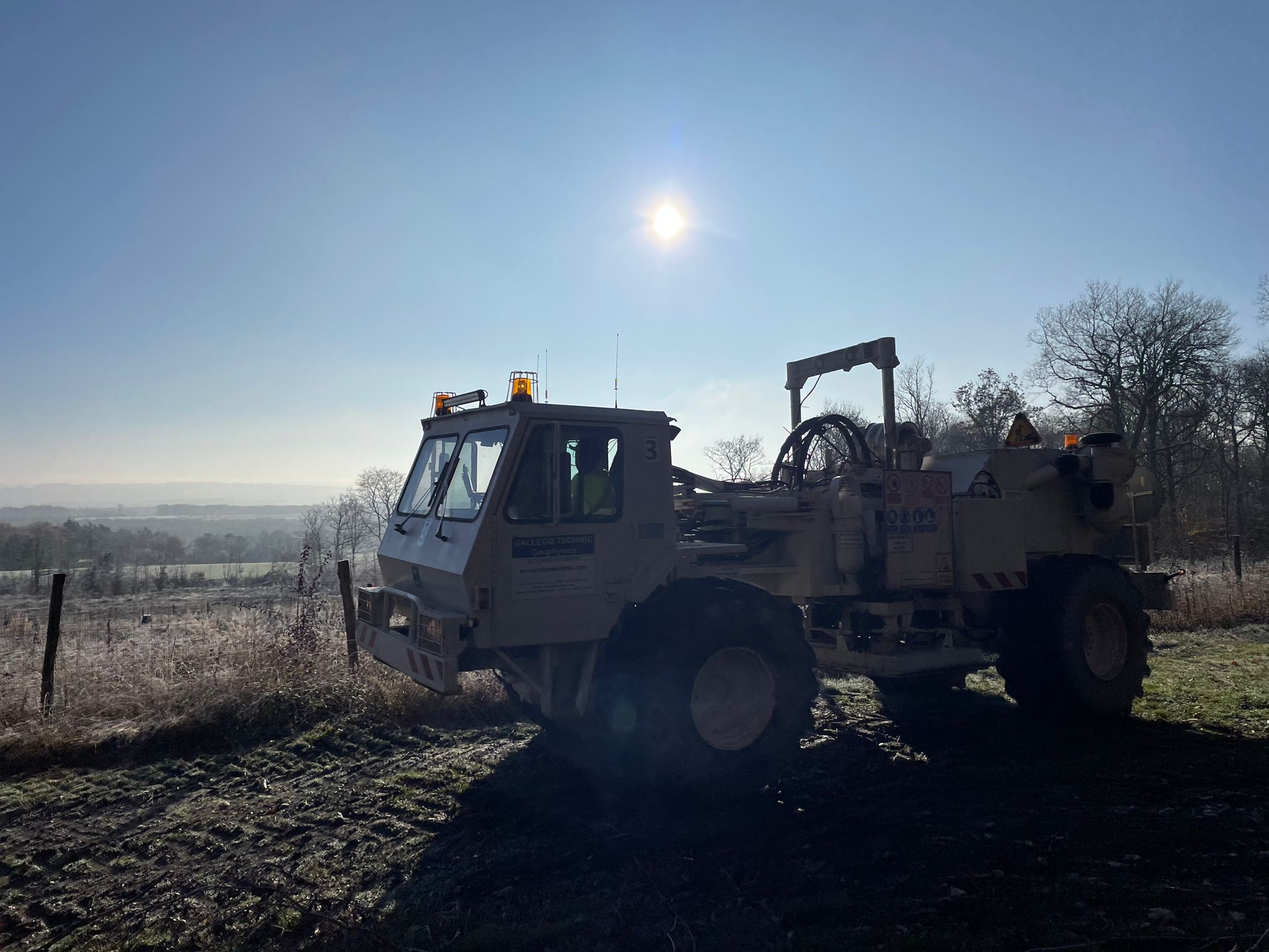
The tests to determine the acquisition parameters took place this Monday, December 12th in the commune of Somme-Leuze. Gallego Technic Geophysics, the operator, unrolled the sensors (geophones in the photo below) as of Saturday, December 10th in the municipalities of Somme-Leuze, Hamois, and Marche-en-Famenne, Fernelmont, and Andenne!
In addition to understanding the Walloon subsoil, GEOCOND2022 wishes to "facilitate access to a local energy source in order to make it more affordable and to offer the citizens of this Region a greater energy independence".
The geophysical prospection campaign does not cause any major nuisance and is risk-free. Only some vibrations may be felt in the upper floors of the buildings. The passage of the vibrating trucks is similar to that of a tamper. In urban areas, the convoy of trucks will be supervised by safety and signal vehicles.
The vibration level is monitored and adjusted in real-time in the vicinity of buildings and pipelines: according to the German standard DIN 4150. If we pass near a building that is considered sensitive or very sensitive, our vibrations will be adjusted to the minimum level! All buildings older than 30 years are automatically considered as very sensitive...
The technology used is widely proven and has existed for over 50 years all over the world. In 2019, an identical campaign was carried out in Mons. In 2020, within the framework of the DGE-ROLLOUT project, the same operator (Gallego Technic Geophysics) and the same equipment were used in Kempen.
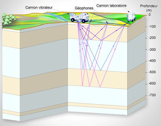
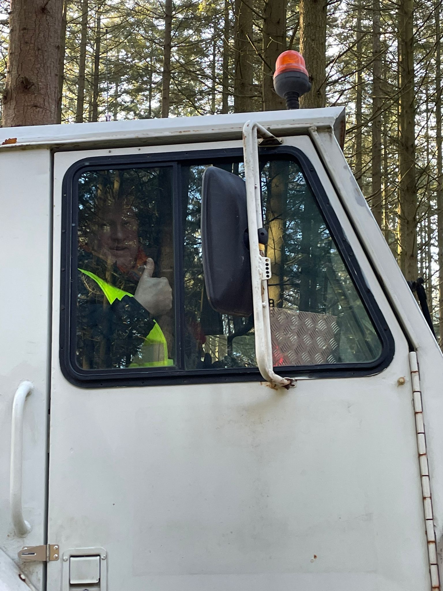
Like an ultrasound, geophysical prospecting allows to image the underground. The principle consists in sending waves into the subsoil and recording their return to the surface after reflection on the geological layers of the subsoil. The waves are generated by a convoy of 3 vibrating trucks and recorded on the surface using sensors (geophones).
Find bellow are the maps of the L1 line: in blue the layout of the sensors (geophones), in pink the layout of the vibrating trucks in the municipalities of Fernelmont, Andenne, Gesves, Ohey, Hamois, Havelange, Somme-Leuze and Marche-en Famenne.
And the detailed maps of the L2 line: in blue it is the route of the sensors (geophones), in pink the route of the vibrating trucks for the municipalities of Gembloux, Jemeppe-sur-Sambre, Floreffe, Fosses-la-ville, Mettet, Anhée and Onhaye.
Thanks to the participants for their support and interest: the Walloon Government, SPW Energie, GTG, UMons. We sincerely thank all the owners/occupiers who gave us their permission to visit and the local authorities without whom this campaign would not have been possible!