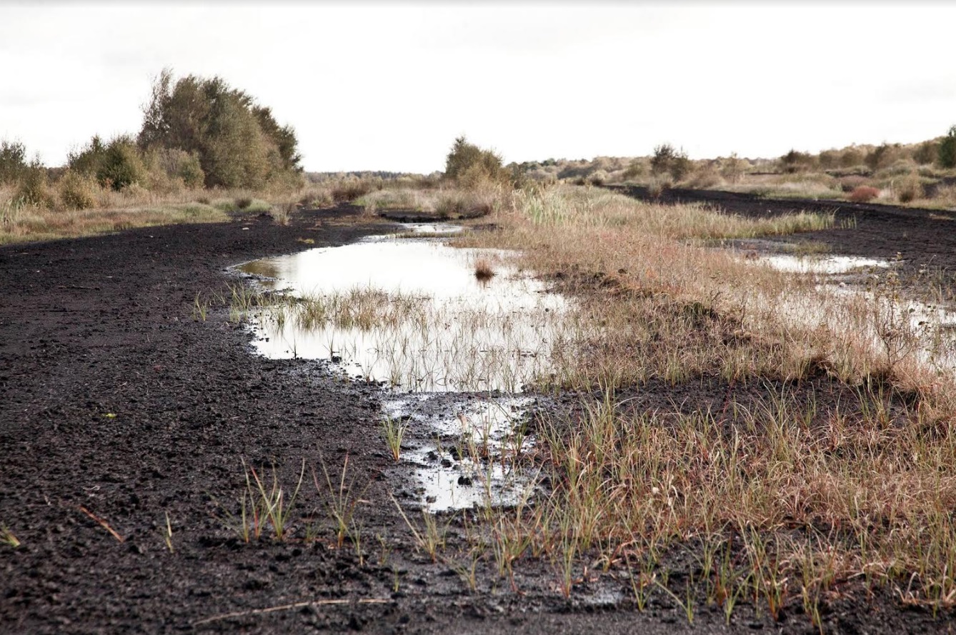
Care-Peat focuses on the reduction of carbon emissions and the increase of carbon storage in peatlands by testing innovative technologies and methods on 5 pilot sites located in North-West Europe (Belgium, France, United Kingdom, Ireland, Netherlands). The main objective is to demonstrate and quantify CO2 emissions and carbon storage and to propose restoration scenarios and solutions for the reduction of CO2 emissions from peatlands, using advanced management tools developed from pilot sites.
These management numerical tools of peatlands use as input data some characteristics of the sites like:
- Digital Elevation Model;
- Water table and hydrologic data (river, drains…);
- Peat thickness;
- Distribution of the vegetation on the sites;
- Carbon (CO2 and CH4) fluxes according to time;
- Temperature (air, soil);
- Chemical composition of water (DOC, major ions, pH, redox potential…).
This report lists the main data available on each site at the beginning of the project. A focus is done more specifically on the spatializing data in order to feed the future GIS (Geographical Information System)-based model. This review highlights that the level of knowledge of each site is very different. Some sites own long series of data with acquisitions starting since 2014 (for example in La Guette site…), whereas collection is just starting on other sites (like in Cloncrow site or Little Woolden Moss site). However, these differences between sites are not problematic for the progress of the project. Indeed, the numerical models used for determining carbon fluxes will be first developed on the sites the most documented. The methodology developed on these sites will be useful for other sites. At last, this inventory is just a first step and obviously, the data acquired during the project will feed the numerical models.