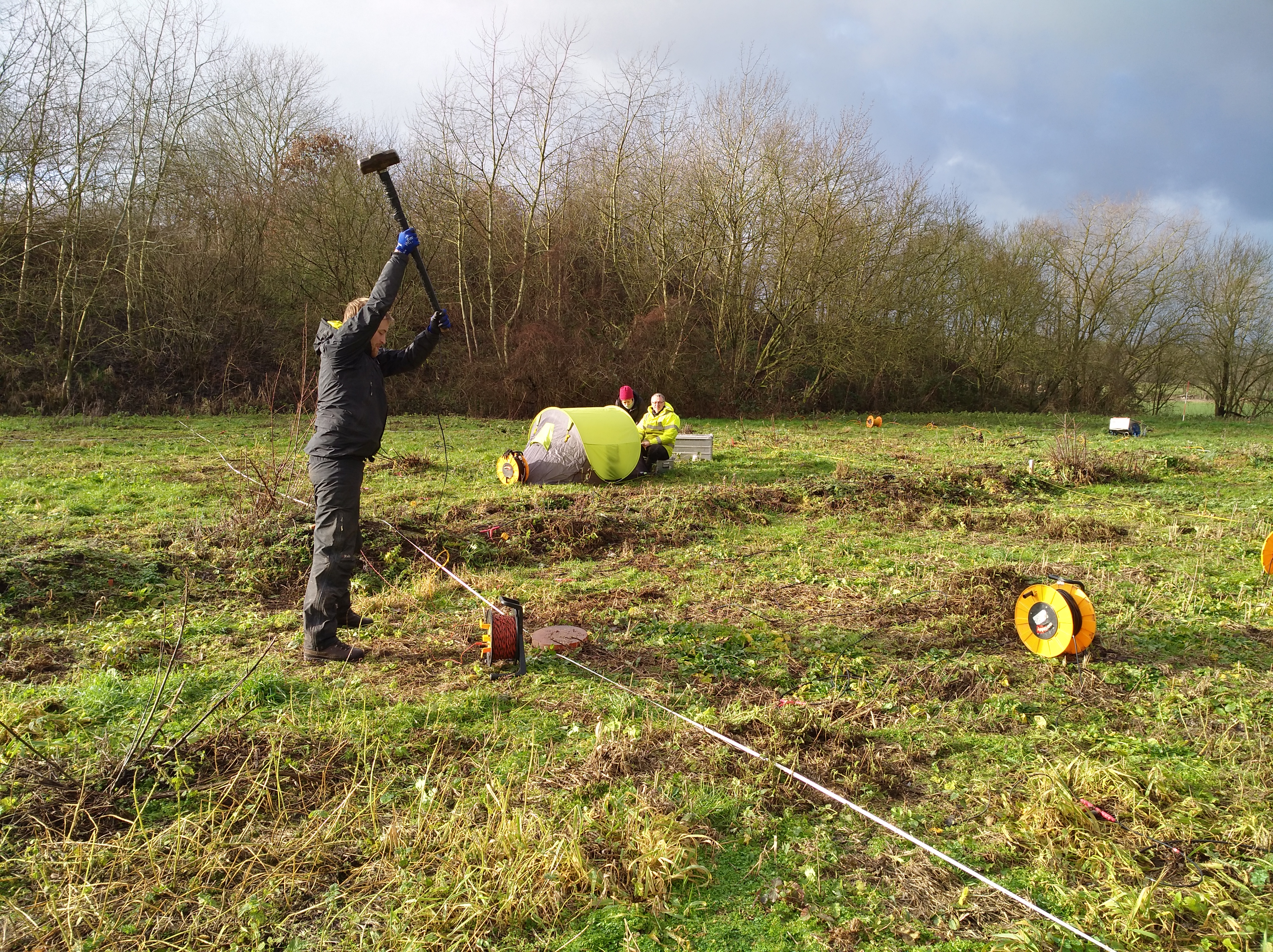
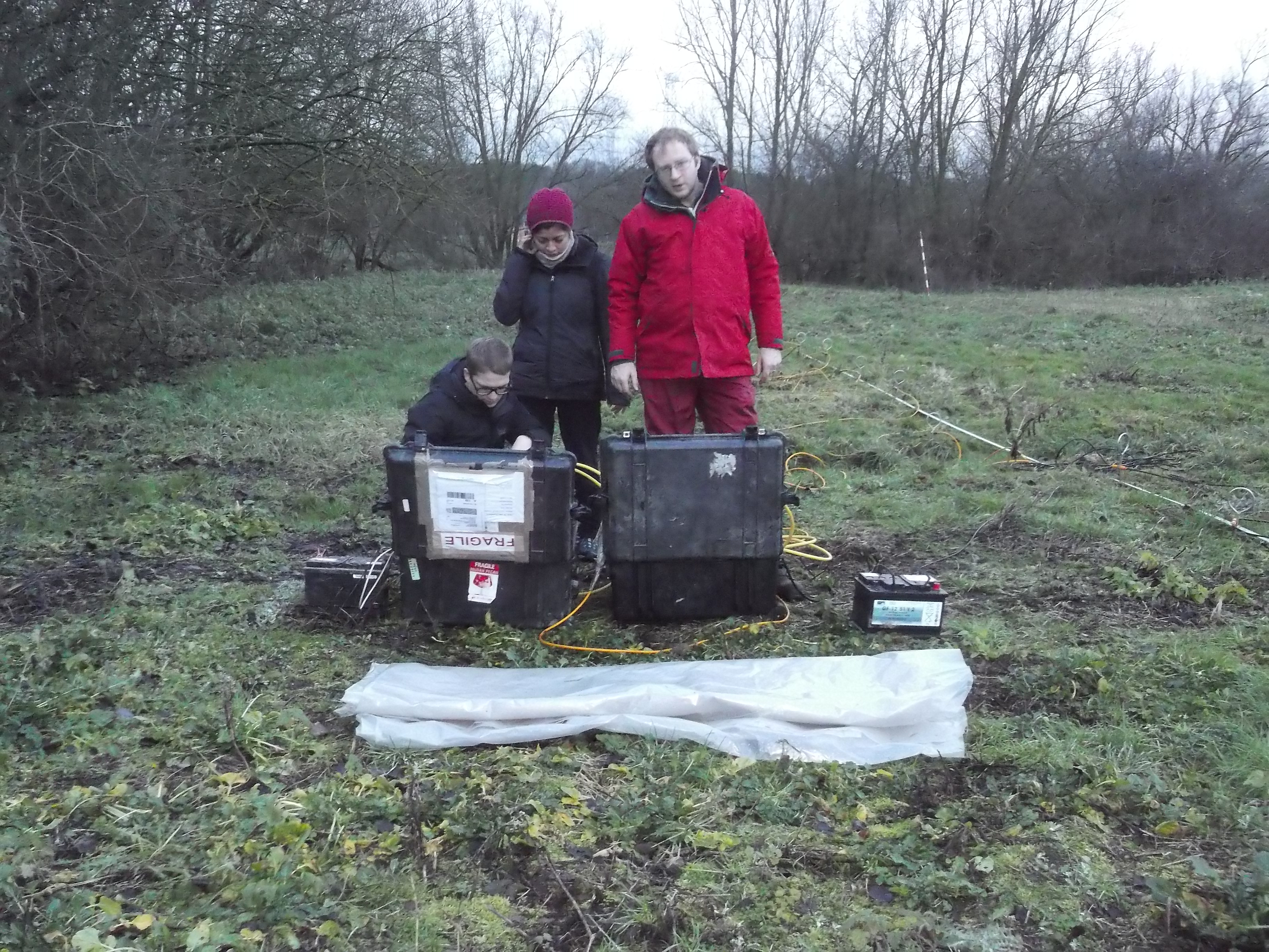
The University of Liège and the British Geological Survey jointly realized a three-day geophysical measurement campaign on the RAWFILL pilot site in Meerhout. The goal was to test the ability of different geophysical measurement methods to characterize the landfill.
Being able to characterize the waste and delineate spatial changes in composition is essential in order to evaluate the potential of Landfill Mining at a specific site. Geophysical methods have the great advantage that they are able to gain such information by “scanning” the waste volume indirectly from the surface without the requirement for extensive digging or drilling.
With geophysical mapping methods such as magnetics and electromagnetics the researchers were able to gain a quick indication about changes of the waste composition on site.
More detailed images will be obtained from their seismic and geo-electrical measurements after data processing. All results should finally help them to identify interesting locations to collect samples for ground truthing and calibration. Furthermore, the results from this survey will help them to define areas where more dense geophysical surveying is required.